Smart growth is an innovative way to boost your local economy, increase your community’s sustainability and attract and retain the creative class to your community. In addition to this, it also helps communities use land more effectively and efficiently and can reduce the amount of sprawl your community goes through as it increases in size. If smart growth is done right, it can be the foundation of economically and environmentally sustainable neighborhoods.

The Better Government Competition is an annual idea contest that attracts the interest of experts and citizens across the United States.
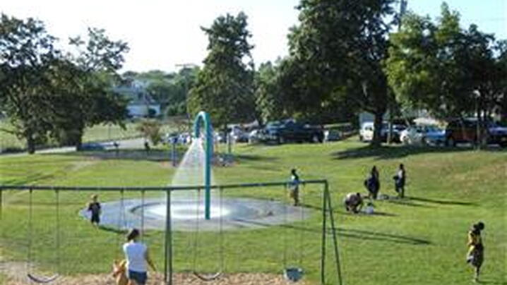
For a number of communities, providing low-cost programs through parks and recreation facilities is a critical opportunity to increasing social equity.
The assessment of impacts, adaptation, and vulnerability in the Working Group II contribution to the IPCC’s Fifth Assessment Report (WGII AR5)(...)
This publication has been developed to assist local governments attain greater energy efficiency for their community members through ENERGY STAR program offerings.
A resource guide developed by EPA scientists to help more communities manage stormwater and wastewater with green infrastructure.

