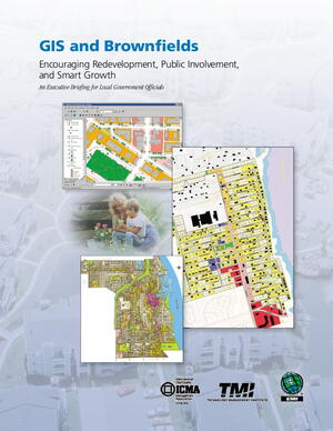
This brochure provides an introduction to geographic information systems (GIS) products and their importance in the brownfields redevelopment systems. Highlights the Florida Department of Environmental Protection (FDEP) use of GIS for management of brownfields redevelopment. Discusses how GIS can facilitate multistakeholder engagement in brownfields.
